Patrick Duran (ST11), SPoRT tropical meteorology team lead and Deputy Program Applications Lead for NASA’s TROPICS mission, gave a presentation at NASA’s Land, Atmosphere Near real-time Capability for EOS (LANCE) user working group meeting on 6/21/23. Duran gave an overview of the TROPICS mission, including an update on the constellation’s recent launch and efforts to reduce data latency from 6.5 hours to about one hour. This reduction in latency significantly broadens the applications enabled by TROPICS, especially for the LANCE user community. The presentation also detailed ongoing efforts to incorporate mission data into decision support systems at the US Navy’s Joint Typhoon Warning Center and the US National Hurricane Center, and included discussions on broadening the user community, especially to include international partners.
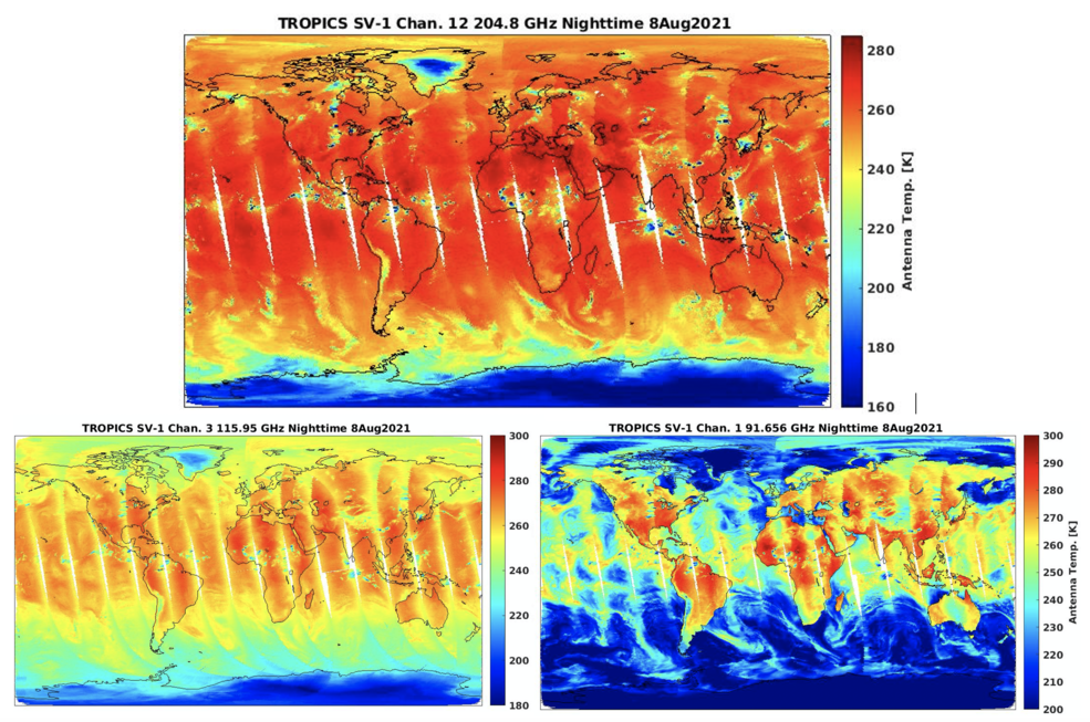
A few weeks later, the first light images from the TROPICS mission were revealed in a press release on 7/19/23. The imagery showed the evolution of Hurricane Adrian in the new 205-GHz microwave channel provided by TROPICS, which provides insight into the structure of deep convection in the storm. The first light images demonstrate the significant value that TROPICS provides over other microwave sensors, as the constellation provided a much higher revisit rate over the hurricane than preexisting satellites. In addition to NASA Administrator Bill Nelson and other scientists involved in the mission, Patrick Duran contributed insight on the value of TROPICS for hurricane forecasting for the official press release. The imagery and press release have been shared broadly across a wide range of media outlets.
Will McCarty, the program scientist for the TROPICS mission, presented early successes of the mission at the July SMD Monthly Status Highlight Meeting. Included in the contribution was a quote provided to Patrick Duran by National Hurricane Center (NHC) hurricane specialist, Philippe Papin, who said “TROPICS could significantly enhance our capability to better analyze the location and structure of these destructive storms in real-time.” The interest in TROPICS at such an early stage from NHC hurricane forecasters is a testament to the applications value of the mission and early engagement of the stakeholder community through the TROPICS early adopters’ program.
