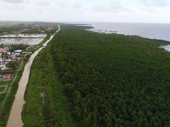
The Monitoring and Evaluation of Mangroves in Guyana service was officially launched on 7/12/22 to an audience that included NASA officials, USAID officials, the National Agricultural Research and Extension Institute (NAREI), and the University of Guyana (UG). This service was developed through a collaboration between CIAT/SERVIR Amazonia, NAREI, UG, Spatial Informatics Group (SIG) and the SERVIR Amazonia Science Coordination Office (SCO) in an effort to map the extent and structure of mangrove forests along the coast of Guyana. These maps employ synthetic aperture radar (SAR) data and the Landsat series to plan mangrove protection efforts for farmers in low-lying coastal regions.
This launch, hosted by NAREI, marks their adoption of the mangrove extent maps co-developed with SERVIR Amazonia. Multiple organizations, including the Guyana Forestry Commission, University of Guyana, and the Central Housing and Planning Authority, provided input to SERVIR Amazonia on their geospatial and remote sensing needs during stakeholder engagement meetings in the days following the launch. The mangrove extent maps produced through this service will support forest and biodiversity conservation in Guyana.
